A few days ago I went to Singapore with my family. In fact it's a one-day quick trip because my dad wanted to repair his broken watch and my mum wanted to do some shopping. I followed them and thought that I could use this opportunity to pay a quick visit to two of my friends who have been working in Singapore.
I have numerously heard about the efficiency of public transport in Singapore but I have yet had a chance to try it out. Hence I decided to give it a try this time. The thing is, after all it is really efficient. And it was so easy to commute that I had no difficulties in finding my friends and running around the place. My friend even asked me how I managed to reach her workplace as it was quite obscure to foreigners.
It's not about my luck, of course. It's because I certainly took advantage of the technology. Singapore, like many other big cities, has a very extensive and well ordered public transport system. Therefore everyone can easily plan and decide the route they want to take before they depart for the journey.
If you are from Singapore, or planning to visit Singapore, there's definitely something you cannot miss out.
DISCLAIMER: I do not get paid recommending these sites/apps. I just want to share it out cause it's really useful.
First is the website http://gothere.sg .
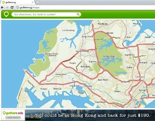
Go to the webpage and type in the the directions you want. For example, let's pretend we are going to orchard road from city square mall.
From there you can select whichever method you want, be it bus or train or taxi. The good thing is it points out the fare and time needed. Then you will see the very detailed explanation below your option. Walk how many metres, take which line to where etc.
This is easy enough but if you want to reassure the plan is correct. Double check it again in Google Maps.
Please take note that gothere.sg is only available in Singapore, whereas Google Maps is available for more than hundred of cities.
Go to Google Maps and click on Get directions as shown in the picture.
Now let's pretend we are going to Universal Studios from Orchard Rd. It features virtually all public transport mode in Singapore so don't worry if you are heading to somewhere offshore.
There you go. A detailed route information. You may want to print it out, just click the printer icon up there.
Alternatively, if you haven't got the chance to plan your route beforehand. You may still plan on-the-go if you have a smartphone. Let's say you have an iPhone.
gothere.sg is available from Appstore.
1.gothere.sg icon 2.the main screen, select Directions and insert the details. You can opt to use your current location. 3.The same thing as in the website 4. There you go, a detailed instruction.
Don't forget Maps in both iPhone and Android as well.
iPhone: In Maps, click on Directions in the bottom bar to use this feature. And select List on the bottom right hand side.
Android: Android devices have the most detailed transit information. If you have to take a bus, it even lists out EVERY STOP on the bus route so that you can get prepared before it reaches your stop.
* TRANSIT on GOOGLE MAPS is not only available for Singapore but also lots of cities like London, Hong Kong, NYC etc. However, it's not available in Malaysia. Maybe it will, in the future.
I hope it's useful! More and more blogs are coming, I am re-blogging all of the events I haven't yet blogged during these few months. :)


2 Comments
Nice post dude.btw,intended asking u to lateh together during Friday night but i saw your instagram and found that u are in Sg!haha so i didnt call u:p
Yea,Sg is more convenient than KL!No need those Apps or maps u wont get lost aslo!!
Blog more!
Green apple"Really? hahahs. another day! I am free almost every day :D
Post a Comment